Based on the clear direction of the RDMP, a smaller group of designers gathered to take a look, in greater detail, at the opportunities that exist throughout the Zumbro River corridor and how we can utilize design to help foster an appreciation of the river asset as well as more utilization. The following descriptions and images were generated following this charette and represent initial design direction for further consideration.
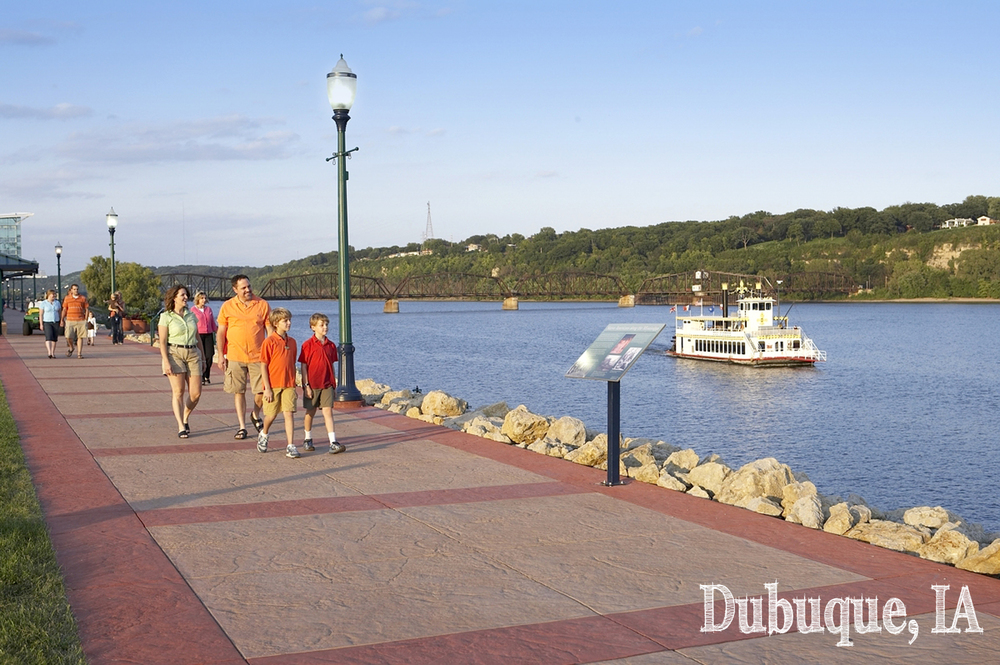
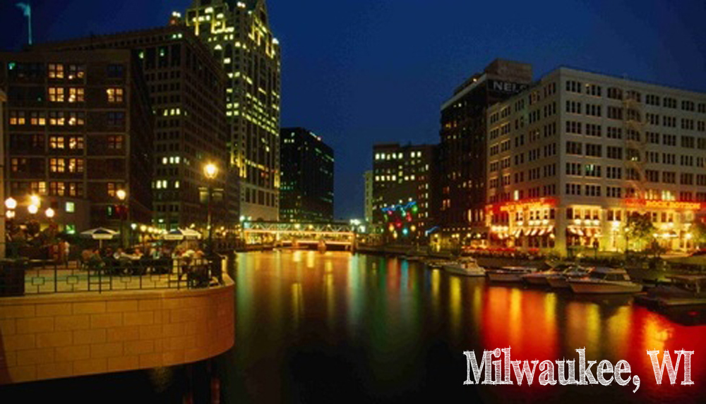
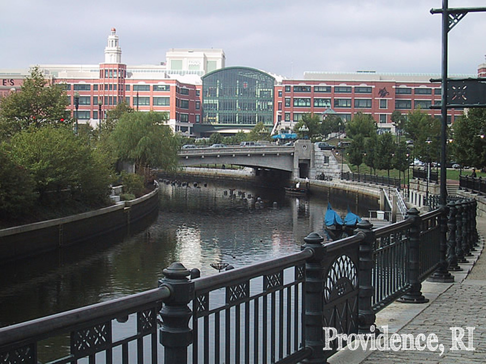
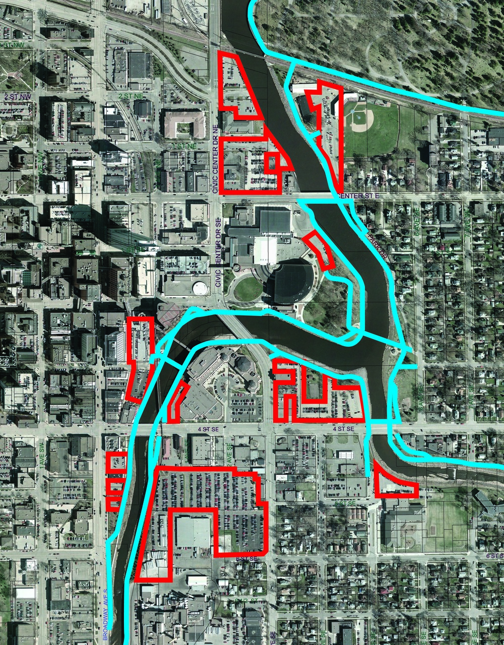
By comparing the Rochester riverwalk experience to other analogous riverwalk precedent imagery from the Midwest and around the country, we developed a list of current river corridor attributes that were perceived as positive and many that were negative. The negatives generally centered around the austere pedestrian environment which feels cold and uninviting. This is exacerbated by the lack of uses that cater to the pedestrian using the riverwalk (either at street level or on the trail). These incompatible uses include numerous structured and surface parking lots, industrial plants, and loading docks (the image below highlights all of the structured parking ramps and surface parking lots that are adjacent to the river.
This less than desirable land use configuration is not an insurmountable hurdle. In fact, along the entire corridor (for the purposes of analysis 7th Street N. to 9th Street S.) there are fewer than 10 unique property owners that are not the City or the County. What this means is that the City and County have tremendous influence over the activities occurring adjacent to the river. Therefore, working in partnership with the City or Rochester, development opportunities could leverage public resources to produce designs that serve multiple goals as outlined in the RDMP.
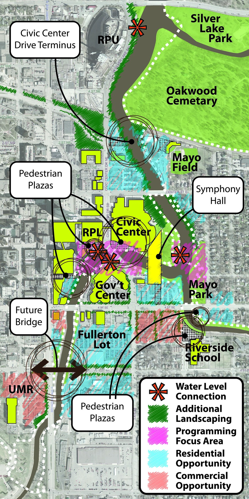
While the trails and connectivity of the system is viewed as largely positive and there are frequent access points in the downtown core (Rochester Public Library, Government Center, and Civic Center triangle), access becomes much more limited north of Center Street and south of 6th Street S. In addition, actual pedestrian access to the waters edge is limited to only three locations along the entire corridor. The RDMP illustrates a new water connection location adjacent to the Civic Center expansion and Library. These connections that put people in direct contact with the water provide opportunities to launch boats or canoes, have water events/races, or simply enhance existing events up on the street level (Riverside Concert Series, Rochester Downtown Farmer’ Market, etc.).
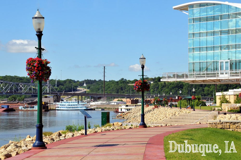
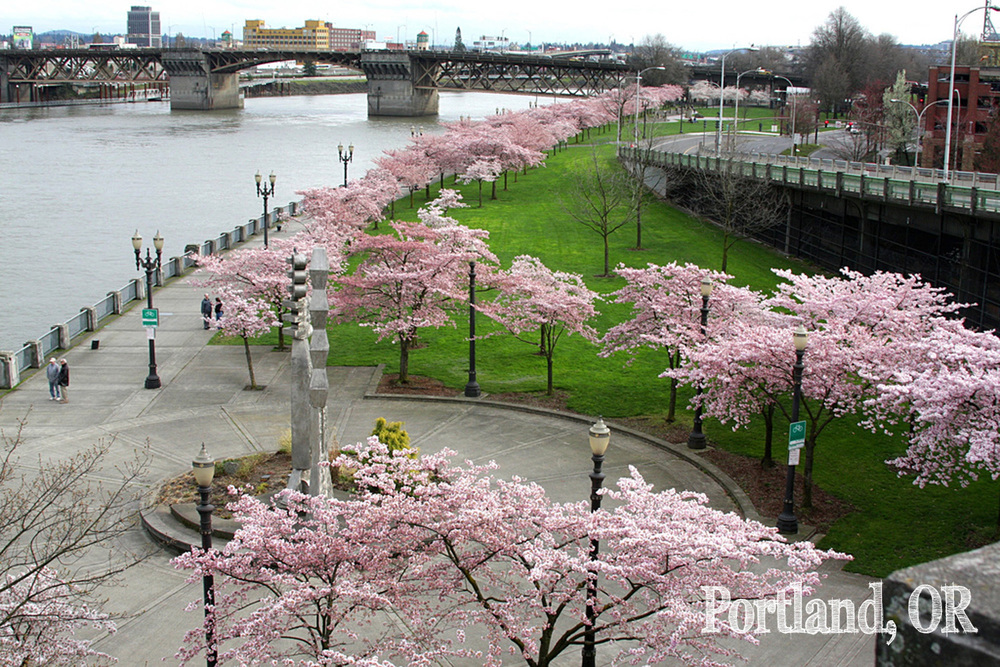
The momentum for these changes has been building for some time. Many individuals in Rochester look at the Zumbro River as both a rich part of our cultural past, and as an asset worth capitalizing upon for increased civic usage. From all angles and perspectives, there are reasons to begin to embrace the river in our downtown and demonstrate its significance and even design value. The drawing below is a conceptual sketch of the entire corridor as studied by Design Rochester and the opportunities and changes seen as improvements. These include increased landscaping along the edges and along streets, redeveloping portions of adjacent land, strong visual and physical connections to the water, and a concentration of programming (existing and new) around the Arts and Cultural District to hopefully spread organically from the core.
For ideas and thoughts on the way forward, see Act III for the implementation; planting the seed for this conceptual framework.